Skip to content
The images included below are from a WRF-ARW ideal-case simulation of a tropical cyclone, with parameters modified as described in this post. They are from a 15 km grid parent nest until “Day 2 Hour 01,” and after that, they are from a 3 km grid child nest derived from the parent. The parent nest required several hours of spin-up time, and I have not included the first twelve hours of that because the WRF model does not produce realistic output until about that time. See the previously linked post for a full explanation of this.
Some background on the theory of hypercanes here.
I generated the images in NCAR’s VAPOR tool.
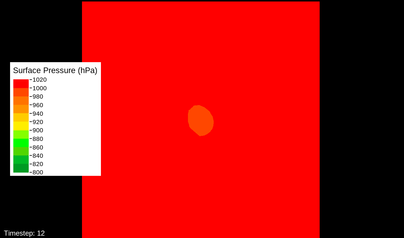
Surface Pressure
For reference, the world record lowest pressure for any tropical system is 870 hPa, and 872 for the Western Hemisphere. Hectopascals (hPa) and millibars (mb) are equivalent units.
Sep-3-1800-Day-1-Hour-12-PSFC
This is from the outer WRF nest.
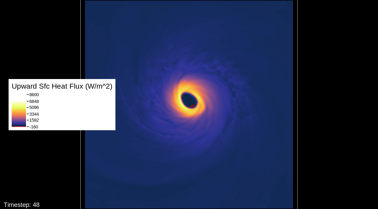
Surface Heat Flux
For reference, hurricanes usually top out at 1000-2000 W/m2.
Sep-6-0600-Day-4-Hour-00-HFX
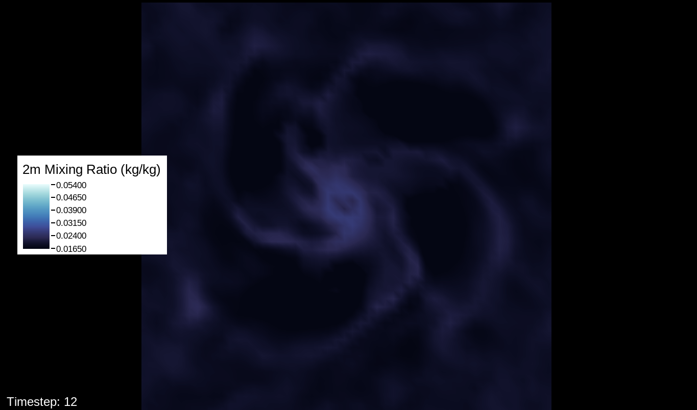
Surface Water Vapor Mixing Ratio
For reference, Emanuel et al. 1995 found comparable values in their own hypercane simulation with a much simpler model.
Sep-3-1800-Day-1-Hour-12-QV
This is from the outer WRF nest.
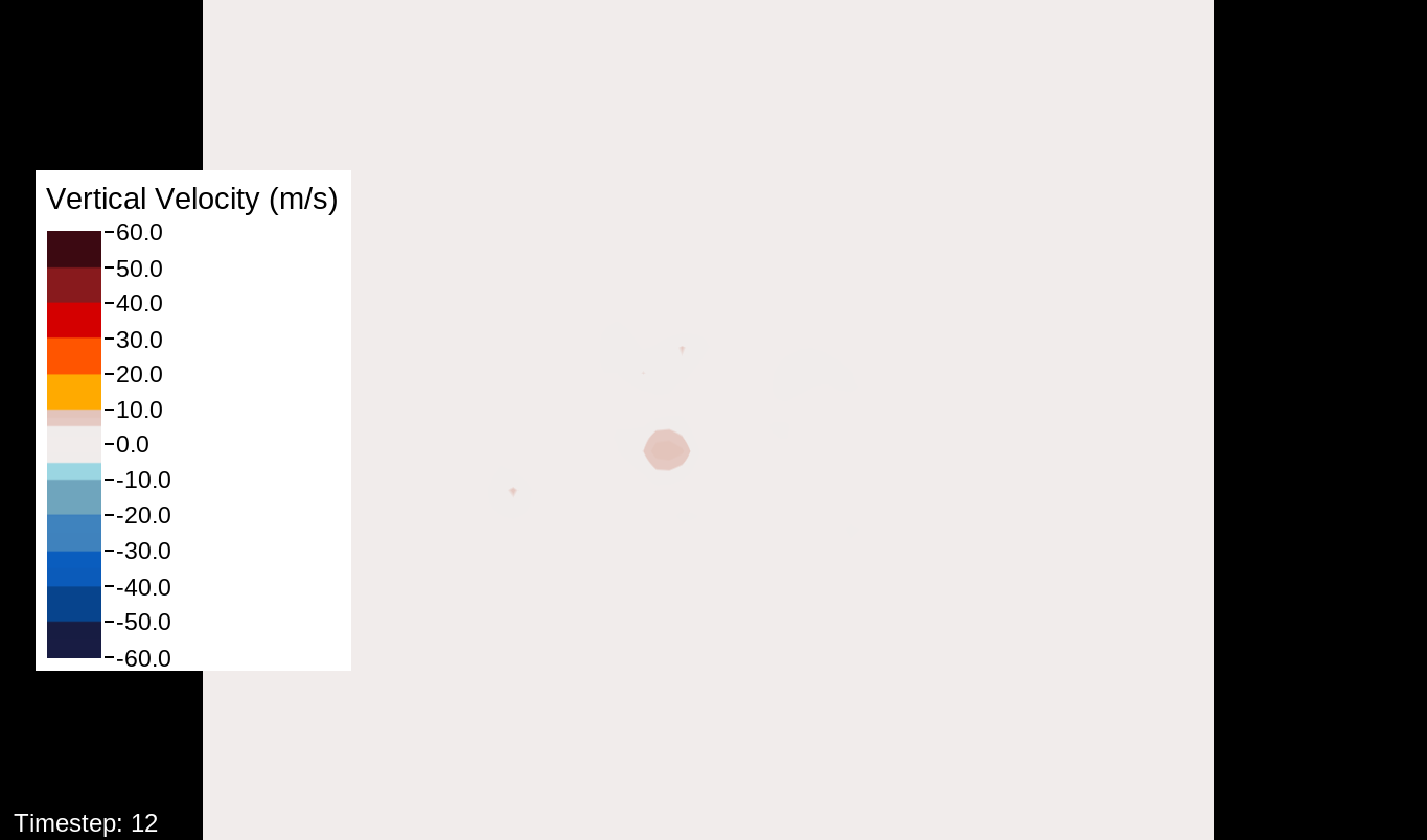
Vertical Velocities Sampled in the z-Plane
For reference, Emanuel et al. 1995 found comparable values in their own hypercane simulation with a much simpler model.
Sep-3-1800-Day-1-Hour-12-W
This is from the outer WRF nest.
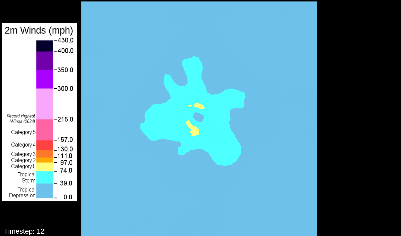
Surface Winds
Sep-3-1800-Day-1-Hour-12-SFCWIND
This is from the outer WRF nest. Leonard is a Category 1 hurricane.
A note about the surface wind images, mostly for WRF experts and those who want to simulate the storm themselves: The images in this viewer do not represent the speed computation of the U10 and V10 speeds (the square root of the product of each of these added together). The reason for this is that the WRF’s surface wind computation is questionable for high-intensity storms. I’ve used an alternate computation that I think is more realistic for this type of system.
For central pressures typical of storms up to about Category Two or Three, the surface winds that WRF calculates are reasonable and correspond well to real-world pressure/wind value pairs. The parent domain, nest 1, tracks the progression of Leonard from the beginning, so it includes these lower intensities, and the winds are appropriate for the pressures. But at high intensities, something about the calculation starts breaking down, resulting in winds that are far too low for the central pressure that the model simulates. The problem really became noticeable with 120 mph / 914 hPa, which is highly unlikely for an intensifying rather than post-landfall storm, and it got worse from there. It ended up with 229 mph for a 660 hPa storm.
For reference: The current world records for the Western Hemisphere are 215 mph and 872 hPa in Hurricane Patricia. It is inconceivable that a storm over 200 hPa deeper would be so close to the same intensity in surface winds. Friction does increase with wind speed, resulting in less “bang for the buck” in terms of pressure gradients, but not so much as that. Published research of theoretical high-intensity storms confirms this. For instance, in “Grey swan tropical cyclones”—Lin and Emanuel 2015, Nature Climate Change—hypothetical storms of 784 hPa/253 mph and 829 hPa/233 mph are modeled. And in the flagship hypercane modeling study, Emanuel et al. 1995, they got their storm to approximately 225 hPa and winds of 670-690 mph, which is almost Mach 1 at that pressure. (Mach 1 is the highest sustained wind speed possible on Earth.)
I’ve read that the issue with WRF is that the 10-meter winds are calculated in the surface layer of the model, which uses a surface parameterization scheme and usually a planetary boundary layer scheme too (the only time when you wouldn’t use a PBL scheme is if you’re modeling microscale winds). My guess is that, because of the intensity of the storm, too much mixing and diffusion is occurring at this layer, artificially driving the winds far too low. That would explain why it only happens in intense storms and weaker ones have normal pressure-wind value pairs for the 10m level.
That it would be the PBL scheme makes sense, because this only happens for the U10 and V10 winds. For the U and V winds at all model levels, the winds are perfectly reasonable for increasingly deepening pressures, including in the sub-800 hPa range, and even into the theorized hypercane pressure range (sub-700 hPa). For these images, I have therefore used the level-0 (out of 30) U and V winds to calculate surface wind speeds.
I know it isn’t a perfect solution, but there is only one defensible alternative I can see, and that is to turn off the PBL scheme for the storm simulation. I’m uncomfortable doing that, because it does need it to model its processes well at lower intensities. But I am using the assumption—supported by research, modeling, and observational data of intense hurricanes—that in such storms, planetary boundary layer mixing does not occur on a scale large enough to drive the wind speed down by more than a few knots. In the past, Hurricane Hunters typically used a 90% reduction factor for estimated surface winds (they would estimate surface winds at 90% of the speed of their measured flight-level winds). However, since they have been directly obtaining surface data from the stepped-frequency microwave radiometer, they’ve found that this 90% ratio does not always hold. Sometimes the surface winds are stronger than the flight-level winds. Sometimes they’re about the same. Sometimes they are weaker, but not 10% weaker. What hurricane researchers have found is that this ratio depends more on the processes of the storm itself than anything occurring in the planetary boundary layer. Therefore I claim this justification for declaring that, in my fictional hypercane, flight-level wind speeds (U,V level 0) are surface wind speeds.
To get this value into VAPOR the way I wanted it, I had to use wrf-python and netCDF python to calculate it and insert a new variable into the output files. I will post the code I used to do this if anyone really wants to know. But hopefully it will suffice to know that these values are derived from U and V at level 0 in the 3D field rather than U10 and V10 in the 2D field.
